
Coastal Trail Fredrikstad
The first leg runs from the municipality boundary in Sarpsborg, Skjærviken, to the ferry landing in Gamlebyen (The Old Town). It runs partly on public roads, but mostly through Østsidemarka, which is woodland. The trail starts and ends in areas which are objects of cultural heritage and protected areas.
In the Skjærviken area are the markings of a prehistoric park called Hunnfeltet with sunken roads, stone rings and grave sites with standing stones. Furthermore, there are burial sites at Østsidemarka, and one of the highlights of the first leg of Fredrikstads's coastal path is of course Kongsten fortress and The Old Town which is Scandinavia's best preserved fortress town.
A beautiful summer night at Hunnebotn. The first leg round og The Fredrikstad Coastal Rail starts here.
From Skjærviken and to Gansrød you'll walk the longest leg (14 km) of the coastal trail, consisting of forest. The coast opens as the trail makes a turn at Gansrødbukta. Gansrødbukta was formerly at popular picnic place with a cafe and viewing tower. Toddlers loved to play in the shallow water on the beach, which probably has a strong presence of Glomma water. Today the area is more applicable for hiking. The Coastal Trail continues to The Old Town and ends at the ferry landing there.
The second leg (21 km) runs from Isegran ferry landing on and along the public road/trail towards Enhus camping ground on Kråkerøy's western side. From here along the ocean on the coastal trail, past the lush nature reserve and unique wetlands with abundant bird life, to Lunderamsa historical site and across to the island Kjøkøy. It is the last island belonging to Fredrikstad municipality before the Puttesund bridge leads you over to the Hvaler islands.
"The Devil's own crevice"
The entire south-eastern part of Kjøkøy is now a large grazing area. At the top is one of the largest coastal forts the Germans built in southern Norway during the last war. It was fenced and heavily guarded. With the exception of a smaller area, it is now released. The Department of Defense is still the owner, but Fredrikstad municipality operates it as a recerational area, however in cooperation with the county conservator. The coastal fort will be preserved as a cultural heritage. There are some small bays in the area where you can swim, but this is not the main reason for going here. Instead, it would rather be for the splendid view of the Hvaler islands. You get here by driving Higway 108 almost to the first Hvaler bridge (Puttesund bridge), turn left onto a narrow and winding local road. If you follow it to the top, you will find parking - and a magnificent view. Buses to Hvaler stop on Highway 108. From here it is a 2 km walk to the top. We must point out the Kjøkøy area was secured for outdoor recreation in 1995 by the energetic efforts of the Oslofjorden Friluftsråd.
"The Devil's own crevice" is a narrow crack that literally cuts Kjøkøya in two. The sides are exactly parallel, and everything indicates that they run all the way down to the sea bed. However, the rift is of course filled with stone, dirt and gravel. You can therefore walk on it today, still with the rock sides towering high above you. The surrounding area is scattered with a number of Bronze Age cairns. Approximately in the middle of Kjøkøya, in the left side of the road, a sign shows you the way. You can park here. If you walk through you can stop at Kjøkøyplatået and enjoy the great view as described earlier.
We have to go to the north-western side of the city to find the continuation of Fredrikstad's Coastal Trail. The third leg (45 km) starts at Gressvik ferry landing and follows Nordsjøløypa (The Nort Sea Trail) to Krossnes. From there it follows the route of the Onsøy Trail along the coast of Sørbygda. The leg continues past Hankø, along the highway and forest and farm roads to the Elingaard, Huseby and Onsøy golf courses. It continues around the entire Elingård peninsula west in Onsøy along public and cabin roads through Lervik to Saltnes in Råde municipality.
Poseholmen
There are many highlights during the last leg of the Fredrikstad coastal trail. Here you can experience the swimming spots Foten, Helleskilen, Dypeklo and Solvika at Engelsviken. Torgauten fortress, dramatic viewpoints, such as Helleskilfjellet, Dypeklo, Mærrapanna, Vikane, Bråtaberget and Smaustangen, Blåsopp picnic area with a direction disk, Engelsviken and magnificent Elingaard mansion.
Fredrikstad's long coastline is mainly used for swimming and recreation. It's therefore no surprise that Fredrikstad is the largest "cabin community" in the country. And regardless of costal or inland municipality, only Trysil and Ringsaker have more cabins than Fredrikstad.
Mærrapanna
Along the entire Fredrikstad coastline are all the ingredients we desire for the vacational menu. The sound of slapping waves and motorboats, sheltered bays, beaches and islets you can have all to yourself if you're lucky. The summer day can be started with a morning swim in the salty sea, and when the sun bakes a brown back, shrimp may taste delicious on the wharf, or a boat trip in the archipelago may seem just as tempting. You can doze off in the long, light summer evenings with a smile on your face when you quickly think of last winter's gust, and that there are still many months until next winter.
Along the entire Fredrikstad coastline are all the ingredients we desire for the vacational menu.
The Coastal Trail in the Hvaler Archipelago

Asmaløy
The coastal path on Asmaløy starts at Åsebu by Hvaler's main road. From here the trail continues along the idyllic Asmal sound and down to Brattestø where we find the first attraction on the trip, the Pikesten Lighthouse. The trail continues past Pikesten and further soutwards. Here is a wonderful public area with lush meadows, coastal heathlands, pebble rocks and one of Hvaler's longest continuous polished rock areas

Kirkøy
Kirkøy has a rich history with memorials from changing eras, Bronze Age mounds, house foundations from the Middle Ages, a medieval church, nature reserve and remains of masonry.
Søndre Sandøy
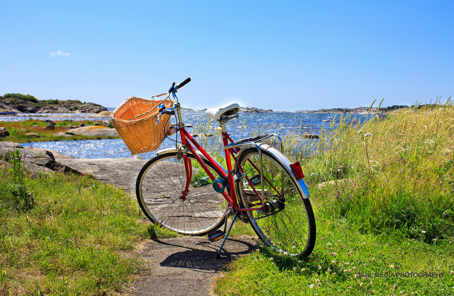
Bring your bike! Here, on the car-free island there are so many wide and narrow paths that it would take days to get to know them all, so here the bike comes in handy. The coastal trail om Søndre Sandøy is just a tiny part of the large network of paths on Norway's most forested island.

Vesterøy
To walk the coastail trail on Vesterøy is a trip that offers most of what a true hiking heart may desire. Here you can see Hvaler in a "nutshell", and the best of what Norway has to offer in terms of archipelago nature.
About the coastal trail in Hvaler
The official Coastal Trail presently only exists on the Hvaler islands Søndre Sandøy, Kirkøy, Asmaløy and Vesterøy. The official coastal trail network doesn't consist of as many kilometers as one would expect in such a large open air paradise. There are footpaths on the Hvaler islands which have been there for several hundred years. It's probably of minor importance for your open air experience whether the path is marked with a blue sign or not. Please, help yourself to the most marvellous hiking landscape you can imagine.
Spjærkilen, Hvaler.